I’ve been wanting to hike a peak from Mokhotlong town. Something I don’t see everyday.
I headed up the hill towards the A1 road. We have been receiving plenty of rain lately. Water is no longer an issue for the majority of areas and should remain so until September. Unfortunately, the rains came three months too late so the staple crops have suffered. Our peaches are fully ripe and the size of apricots.
I have a very lucky site as I am only a ten minute walk from the main road. Some of the volunteers in Mokhotlong district have to take a two hour taxi ride down some pretty rough roads before they even see the A1. I seldom have to wait more than 10-20 minutes for a hitch hike or taxi. I usually take the first one that comes along. It’s only around 6 linear miles to town but the road is 13 miles long because of the terrain.
I stopped in Pep (The store on the left of the picture), our only chain retail store in town, to pick up some granola bars and headed down the road towards Thaba Sekoko.
It’s not unusual for animals to graze inside of town. There is animal feces everywhere, I mean everywhere. Some of the more bold herders will even lead their animals right into the hospital gates and local hotel grounds.
Outside of town I found a hand built vehicle bridge. This is the Senqu river.
I decided to part from the road and head up a stream. I came across a boy washing clothes.
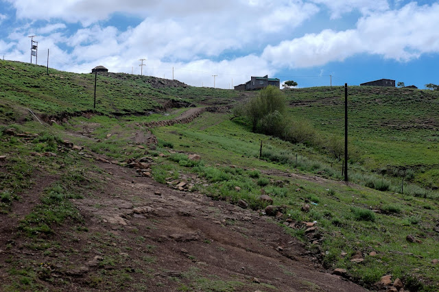
Further up, I reconnected with the road. There were some interesting looking building remains at the top of a hill that I just had to investigate. There are a lot of worn down buildings in this country. Most are constructed of mud and brick so there isn’t any real waste. The clouds were amazing.
I just want you to get a feel for what the overall landscape looks like. Most of the foreground is corn. The dark canyon in the distance is the Senqu river.
I walked off the road a bit to capture the wildflowers, which are blooming everywhere right now.
Here is the first view of Thaba Sekoko. Again the Senqu river is in the foreground.
Heading up the rocky ridge line towards the top. Those conifers on the right are roughly 50-70 ft tall, which are planted in patches all over the country for their timber.
After many false summits, I reached the top. I didn’t bring my GPS this time but I estimate the climb from the Senqu to the top to be around 550 meters or 1800 feet in gain. This is a view of the North.
Here is a view of the south with Mokhotlong town in the distance. It was getting late but luckily I was able to catch a ride back to town from a local businessman. He dropped me off at one of my teachers homes. I was going to tune his guitar for him but he was gone.
This is the west end of town. The town lies mostly along the A1 (pictured), which makes it much longer east to west than north to south. For the keen photo viewers, yes that is an AVIS fleet vehicle service sign.
A final view of Thaba Sekoko from town.
Thanks for coming along.
Peace,
- Joel


No comments:
Post a Comment